Blog
Sports Tracker App
I love this app! I use it to track my altitude and speed when hiking. It’s also fun to see the traced map of your hike once you finish. Check it out. It’s free (no I am not making money on advertising this… but I wouldn’t be opposed to it!). Official website : http://www.sports-tracker.com/ Download […]
Read MoreHiking References
Here are some general hiking references. I add the trail-specific websites to each blog post but sometimes you might not find what you are looking for on my website. I use these a lot when shopping for a trail. Even though you can find the official websites to a place that will give you information […]
Read More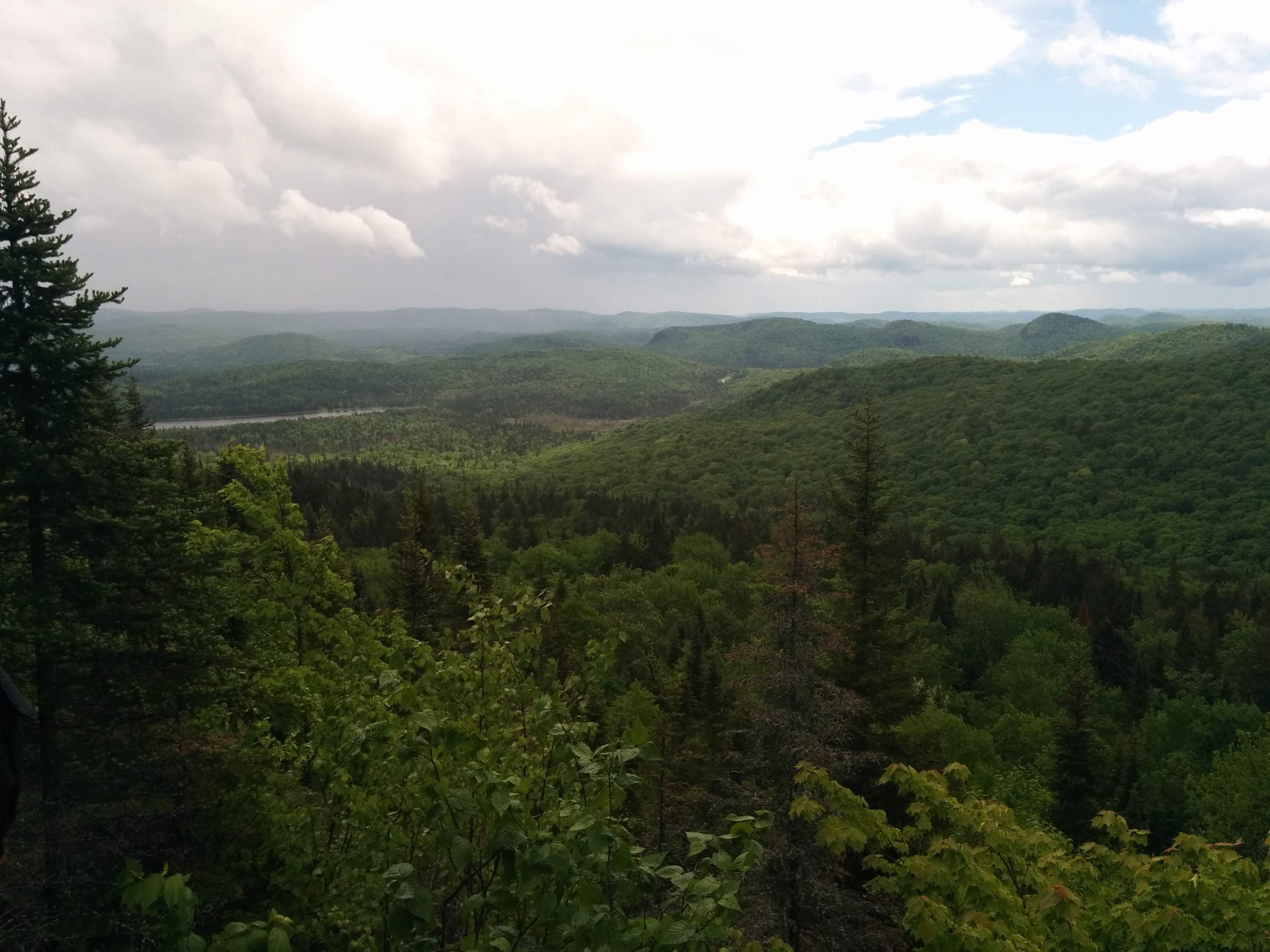
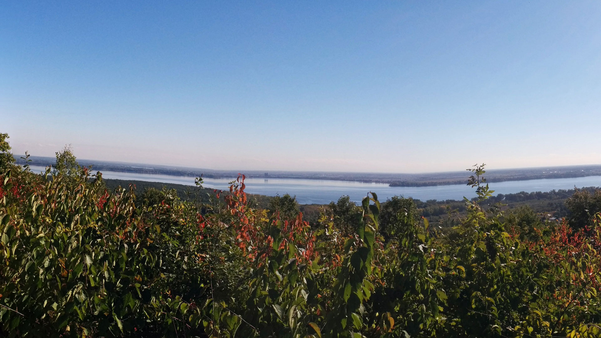
Mont Ouareau
Region : Lanaudière (Qc) Start : Parking lot Distance from start : 5 km roud trip (+links to Sentier National) Parking : Yes Fee : Free Trail Markings : Color markings Difficulty : Intermediate Washroom: The woods Map : Annexe : Website : No official website for this hike. Other reference: Parc Régionaux de la […]
Read MoreRivière du Nord Regional Parc
Region : Laurentides (Qc) Start : At the Reception Distance from start : 24km Parking : Designated parking area Fee : 8$/adult More on their website Trail Markings : Very well identified Difficulty : Very Easy to Easy Washroom: At the start and in the park Map : Website : Parc régional de la rivière […]
Read MoreMont Orford National Park
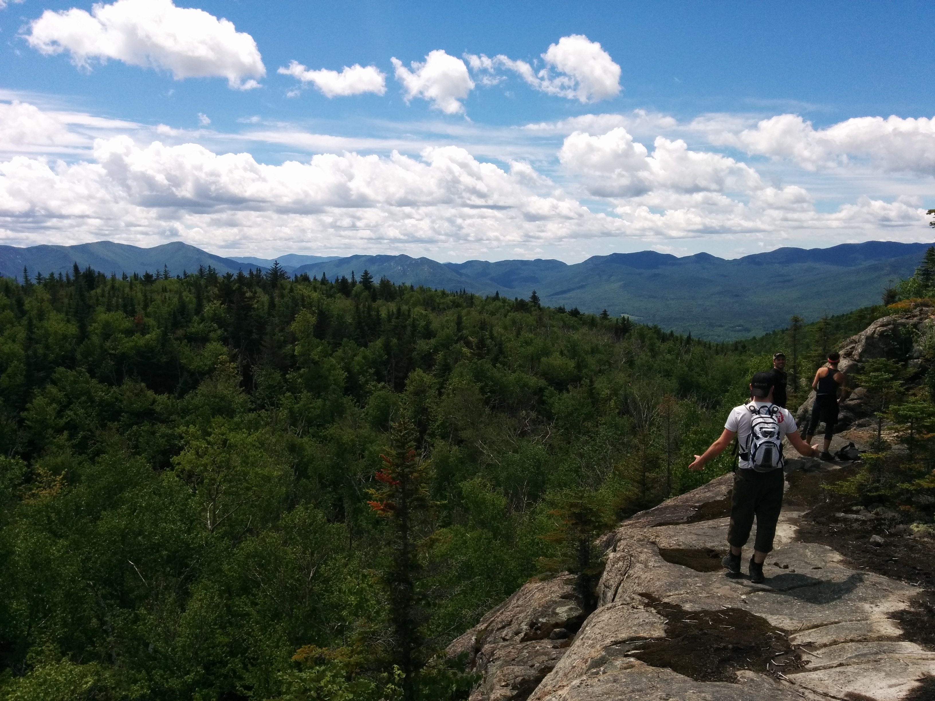
Region : Estrie (Qc) Start : • Sentier des ruisseaux des Chênes • Sentier des crêtes (Pic de l’Ours) • Centre de Services et découvertes les Cerisier • Parc municipal de l’érablière Parking • Mont Orford Ski Station Distance from start : 46.6km Parking : • Sentier des ruisseaux – About 100m from start (Next […]
Read MoreSainte Adèle – Mont Loup Garoup
Region : Laurentides (Qc) Start : Chemin du paysan, Ste-Adèle Distance from start : 24km Parking : Designated parking area Fee : Free Trail Markings : Very well identified Difficulty : Easy – Intermediate Washroom: None Map : General map / Hiking map / Ski trail map Website : Plein air Sainte-Adele / Plein air […]
Read MorePrevious Posts Next posts