Forêt Ouareau Regional Park
Region : Lanaudière (Qc)
Start : Parking lot
Distance from start : Up to 120km (+links to Sentier National)
Parking : Yes
Fee : 6$
Trail Markings : Color billboards
Difficulty : Intermediate to Hard
Washroom: At the Refuge & Reception
Map :
• Map : Massif Sector
• Map : Grande Vallée Sector
• Map : Whole Park
Annexe : Available trails
Website : Parc regional de la Forêt Ouareau
Location : 2007 chemin du Massif, Notre Dame de la Merci (Qc).
Weather : Weather Conditions
Date of hike : 2015-08-01 (With Ben, Cath and Richard)
Note : Refuge available for night stay. Trails poorly maintained
The Ouareau forest is a big regional park in the MRC Matawinie.
There are many trails that you can take but below are listed the most popular. Thanks to the Sentier National, which passes through the whole region, you could spend days wandering around.
On 2015-08-01, we merged these trails, for a total of 13km :
- Certain parts of loops A & B (White/Orange)
- Certain parts of the Sentier National (White/Red)
- Certain parts of the Mont-Prud’homme loop (Green)
The start
You start the trail at the parking of the reception center of the Massif Sector : 2007 chemin du Massif, Notre Dame de la Merci (Qc).
There are paper maps available at the reception.
The trails
You will start on the Sentier National (Always marked Red/White) and will follow that up to the intersection of the A route (Orange/White).
You can take some detours along the LaCroix Belvedere Trail (pink – didn’t do this time) or the Mont Prud’Homme loop (Green – took towards the lakes)
Before reaching a viewpoint, you will spend 5.5km to 6km in the woods.
The trails are not well taken care of. There was a lot of mud and you will find yourself running through small tree branches. It’s very important to bring boots for the mud and medium long pants to avoid scratches.
Keep your eyes open for raspberry and blueberry bushes. There are some all along the trail. This really made our hike a lot longer because we were always stopped to pick berries. Don’t judge me!
Once you reach the B (White/Orange) trail, it merges at one point with the ski trail. The trail is large and, for about 1km, you are not being whipped by plants! Keep your eyes peeled for the next intersection. You will find at many points that the indications are confusing. You know what trail you’re on but the intersections are pretty chaotic. Always bring a map along.

Wild Blueberries
The view points
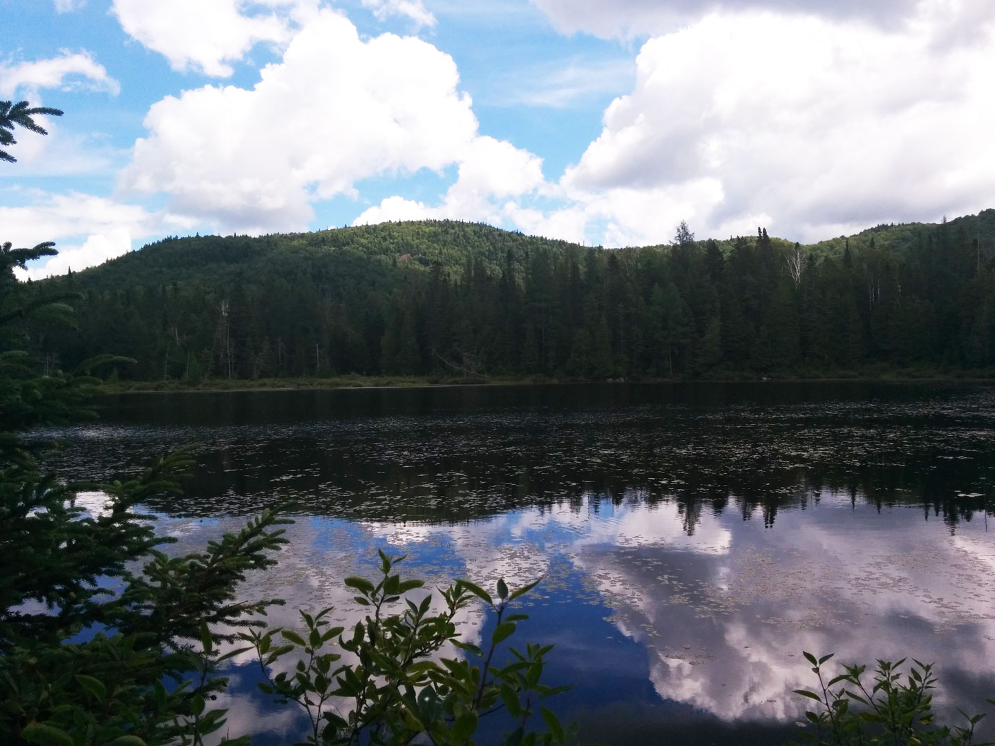
After your 5.5km or more in the woods, trail A finally joins the Sentier National. At this point, you will find amazing viewpoints on the region. Mountains galore! There are 6 along the path that keep you motivated. After the 4th, where you can see Lake Braque, there is an intersection that leads to a 0.6km steep trail to the lake.

View on Lake Braque

Taking it easy at the first viewpoint
The refuge
There are many refuges in this park for a nights stay with a group. They are generally well maintained except for the profanities on the walls (who does that! Seriously!). You can reserve these on the Website.
The Pelletier refuge and La Loutre Refuge are near lakes.
The end of the hike
We arrived at our car 6 hours later and all wet because of the small storm that we got caught in around Prud’homme refuge.
After a big day, we couldn’t resist the tacky restaurants that were along route 125.
This time we stopped at Scoop Restaurant, the one with the giraffe pattern on the outside walls. There is a blue lagoon section inside with paper maché walls. The food is a little expensive but you get what you pay for!
Happy Hiking!
Annexe
Available Trails
Cellphones : scroll left/right on table for full information
| Destination | Longueur (Km) | Niveau de difficulté | Lieu de départ |
|---|---|---|---|
| Belvédère de la Croix loop (Pink) | 2,5 | Intermediate | Entrée secteur Massif(Notre-Dame-de-la-Merci) |
| Mont-Prud’homme loop (Green) | 7,4 | Intermediate | Entrée secteur Massif(Notre-Dame-de-la-Merci) |
| Sentier du Massif View Points (Sentier national, via A and B loops) | 12,5 | Hard | Entrée secteur Massif (Notre-Dame-de-la-Merci) |
| Pelletier Refuge | 4 | Intermediate | Entrée secteur Massif (Notre-Dame-de-la-Merci) |
| La Loutre Refuge (Yellow) | 8 | Intermediate | Entrée secteur Massif(Notre-Dame-de-la-Merci) |
| The Summit | 7,8 | Intermediate | Entrée, secteur Grande-Vallée(Chertsey) |
| Les Murmures (Purple) | Varié | Easy | Entrée secteur du Pont Suspendu (Notre-Dame-de-La-Merci via la 347) |