Tag Archives: hike
Mont Ouareau
Region : Lanaudière (Qc) Start : Parking lot Distance from start : 5 km roud trip (+links to Sentier National) Parking : Yes Fee : Free Trail Markings : Color markings Difficulty : Intermediate Washroom: The woods Map : Annexe : Website : No official website for this hike. Other reference: Parc Régionaux de la […]
Read MoreRivière du Nord Regional Parc
Region : Laurentides (Qc) Start : At the Reception Distance from start : 24km Parking : Designated parking area Fee : 8$/adult More on their website Trail Markings : Very well identified Difficulty : Very Easy to Easy Washroom: At the start and in the park Map : Website : Parc régional de la rivière […]
Read MoreMont Orford National Park
Region : Estrie (Qc) Start : • Sentier des ruisseaux des Chênes • Sentier des crêtes (Pic de l’Ours) • Centre de Services et découvertes les Cerisier • Parc municipal de l’érablière Parking • Mont Orford Ski Station Distance from start : 46.6km Parking : • Sentier des ruisseaux – About 100m from start (Next […]
Read MoreSainte Adèle – Mont Loup Garoup
Region : Laurentides (Qc) Start : Chemin du paysan, Ste-Adèle Distance from start : 24km Parking : Designated parking area Fee : Free Trail Markings : Very well identified Difficulty : Easy – Intermediate Washroom: None Map : General map / Hiking map / Ski trail map Website : Plein air Sainte-Adele / Plein air […]
Read MoreRéserve naturelle Alfred-Kelly – Parc des Falaises
Region : Laurentides (Qc) Start : Gare de Prévost Distance from start : 15km Parking : At the Gare – Big parking lot Fee : Free Trail Markings : Blue markers/Arrows Difficulty : Medium Washroom: At the Gare (Closes around 4pm – Restaurants available around) Map : Click here Date of hike : April 19, […]
Read More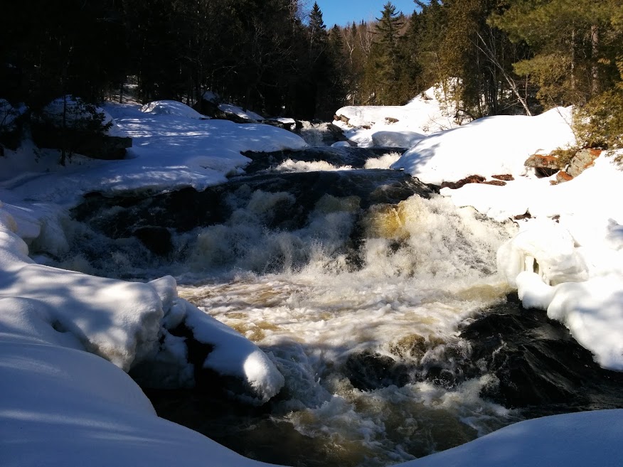
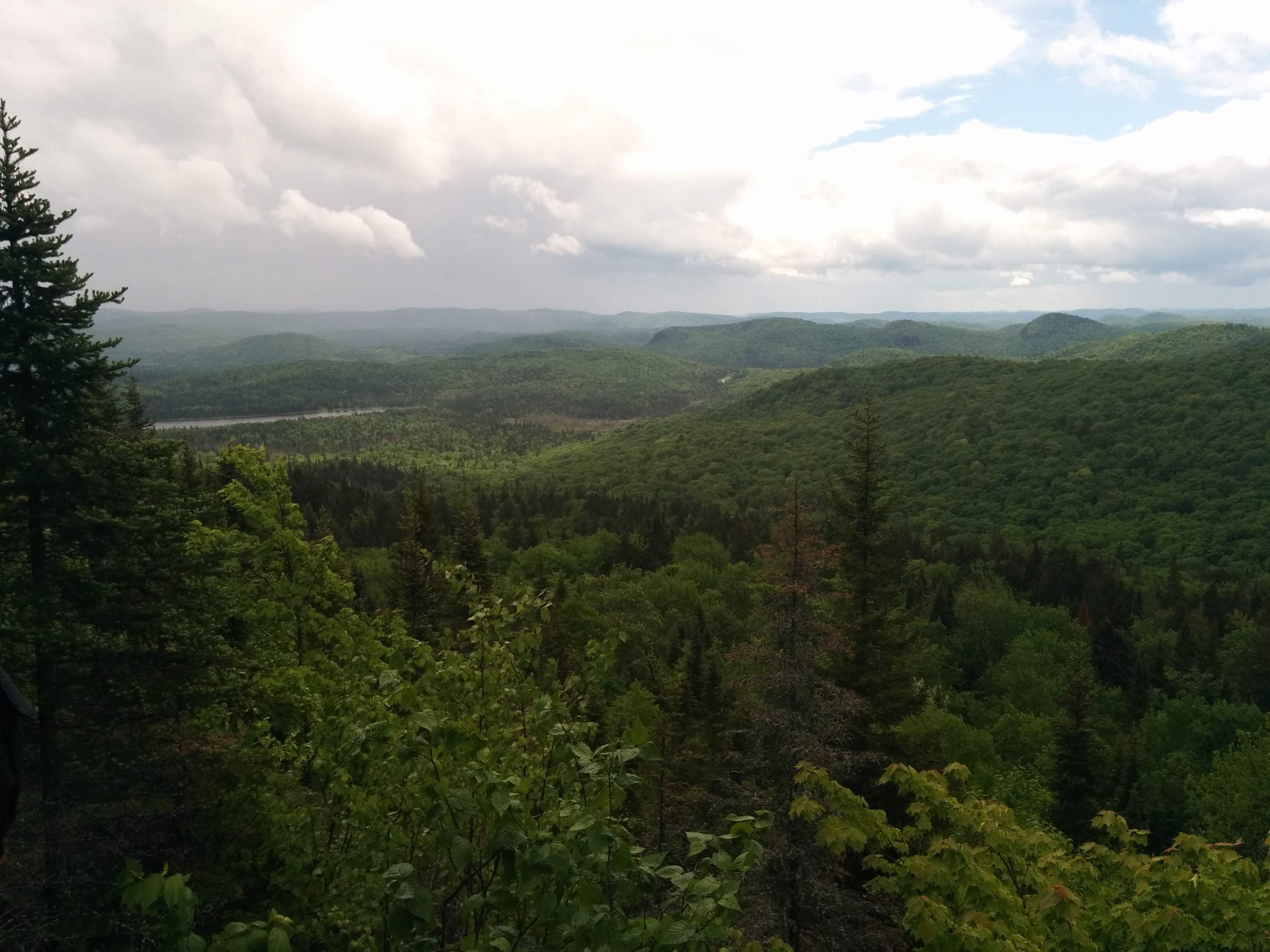
Chutes du Calvaire Regional Park
Region : Lanaudière (Qc) Start : Chemin des cascades /Chemin des chutes Distance from start : 3.1 km-ish Parking : At the foot of the trail Fee : Free Trail Markings : NONE Difficulty : Easy Washroom: None Map : None available online or for purchase Website : Parc régional des chutes du calvaire Note […]
Read MoreMont Ham Regional Park
Region : Eastern Townships (Qc) Start : Discovery center Distance from start : 18 km Altitude : 713m Parking : At the start Fee : 6,50 $/adult Tarification page Trail Markings : Difficulty : Easy/Intermediate Washroom: Map : Trail map Website : Mont Ham Regional Park Note : No Dogs / Possibility to camp at […]
Read More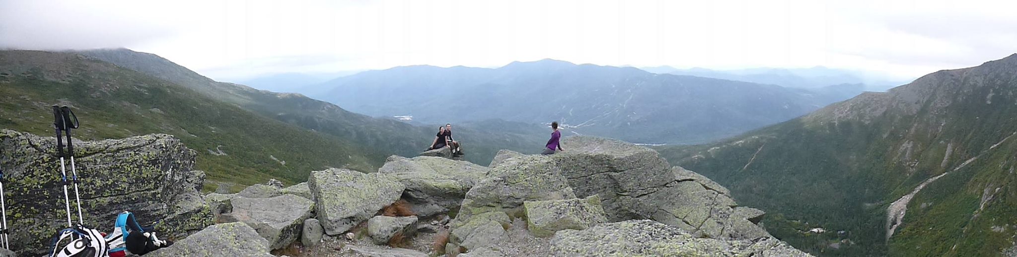
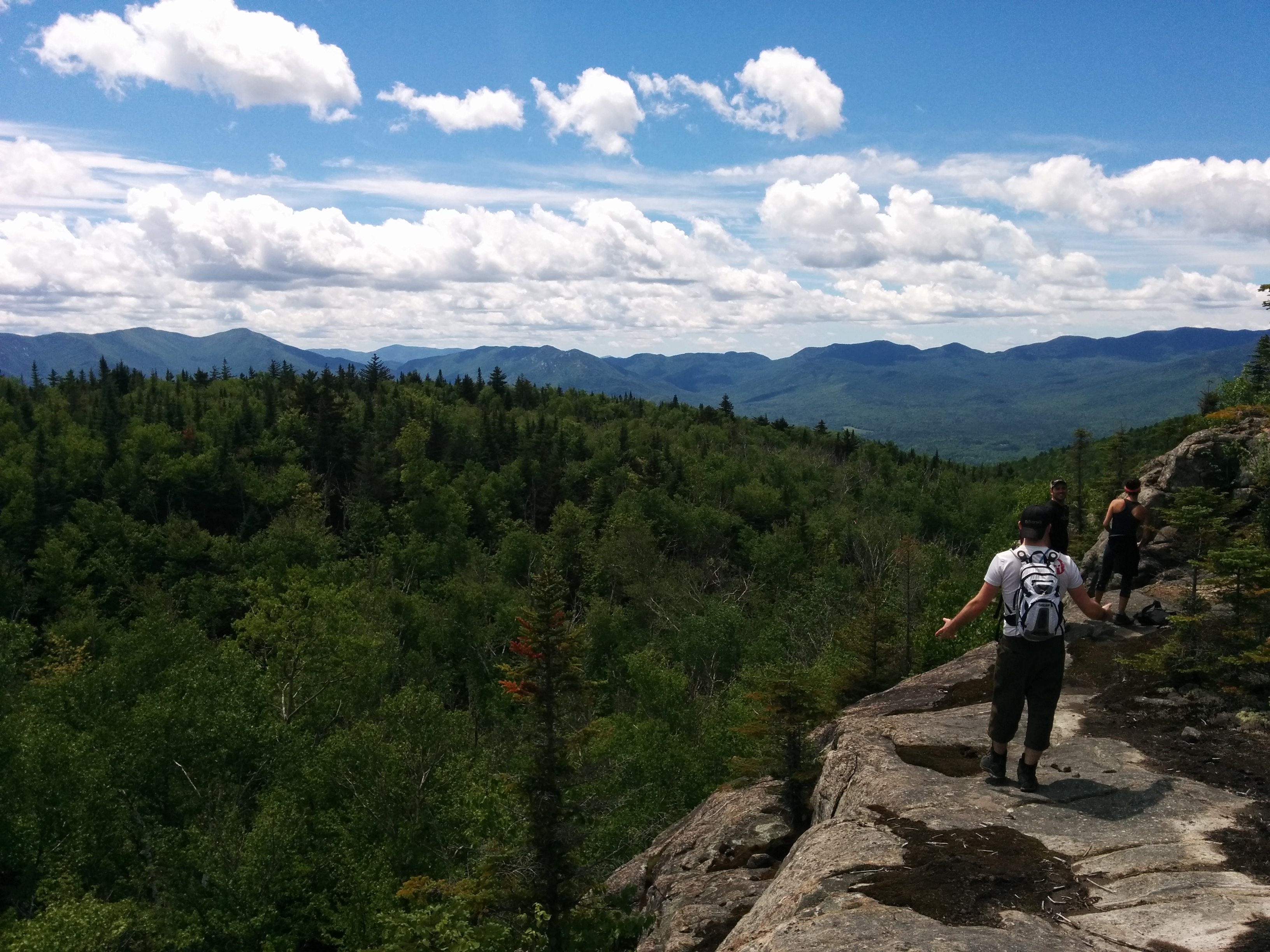
Mount Washington
Region : Presidential Range / White Mountains(NH) Start Location : Pinkham Notch: Directions/Website Distance from start : 8.4m (13.5km) to 10.8mi (17.4km) Ascention : 3800ft (1150m) to 5000ft (1500m) Altitude: 6288ft Parking : Parking lot/Free Fee : Free Trail Markings : At intersections + Totems at top Difficuly : Hard Maps : For sale at […]
Read MoreMont Sutton
Region : Estrie (Qc) Start : Reception Shack Distance from start : Over 50km Parking : At the reception desk Fee : 6$/adult Trail Markings : Well identified on main trails Difficulty : Intermediate/Hard Washroom: At the reception Desk (Chemin Réal) Map : Park map (You can buy a copy at the reception – Plastic […]
Read MorePrevious Posts Next posts