Wilderness Hiking
Menu
  • About
  • Quebec
    • Capitale nationale
    • Eastern Townships
    • Lanaudière
    • Laurentides
    • Montérégie
    • Montreal
  • Adirondacks (NY)
    • List of High Peaks
    • High Peaks (Blog)
    • List of Fire Towers
    • Fire Tower (Blog)
    • Lean-to
    • Rules and Guidelines
  • White Mountains (NH)
    • Presidential Range
  • Tips & How To

Tag Archives: hike


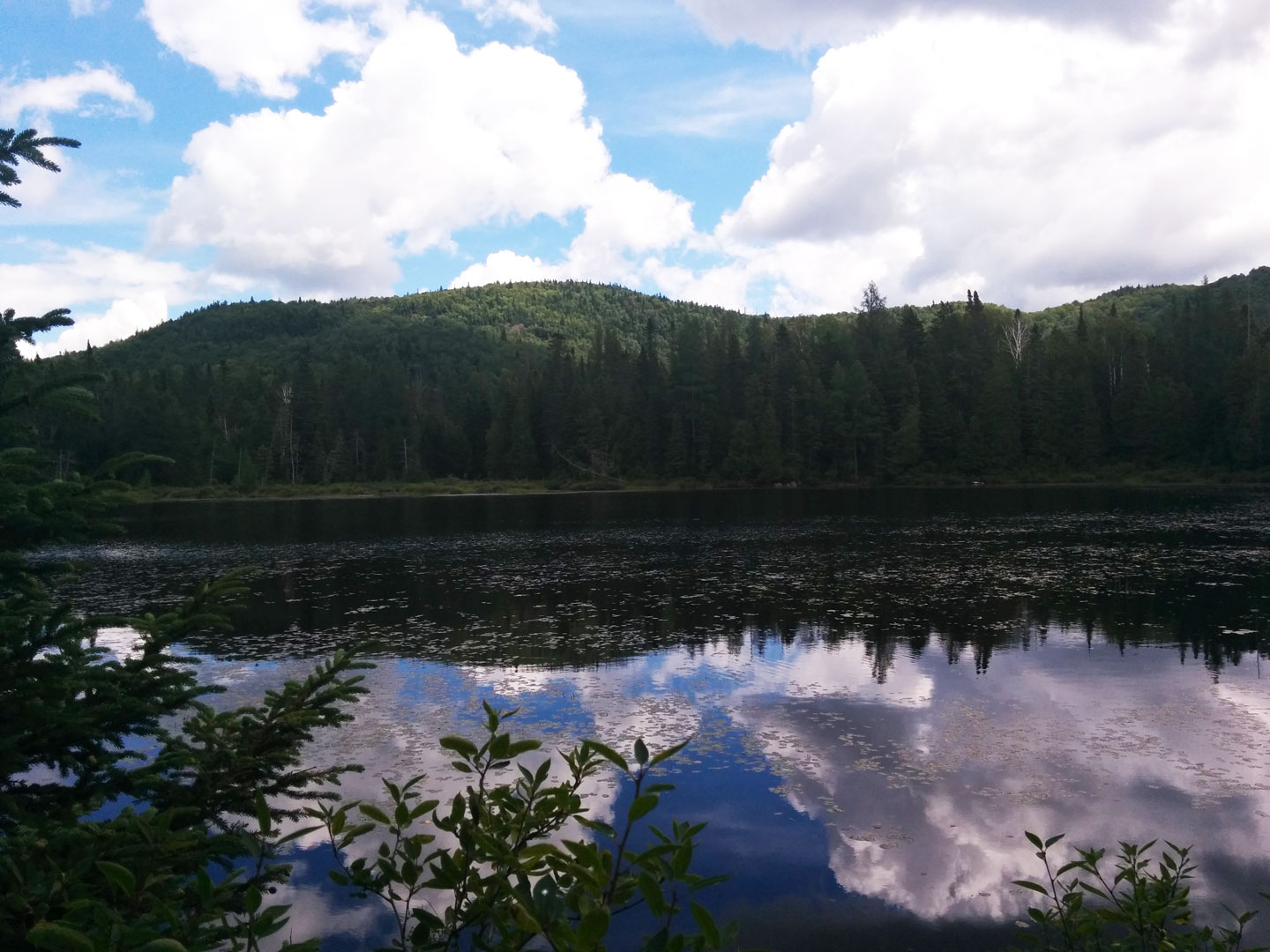
Cascade/Porter/Blueberry Mountain Traverse

By Richelle | August 11, 2015 | Category Adirondacks (NY), High Peaks, Potential Trails

Region : High Peaks, Adirondacks (NY) Start Location : Cascade Ski Resort Distance from start : 12km (one way) Ascention : 900ft Elevation : 4092ft Height Rank : #36 Cascade : 1249m (4092ft) #38 Porter : 1237m (4059ft) Blueberry : 881m (2890ft) Parking : Fee : no Trail Markings : Warnings : Date of hike […]

Read More

Forêt Ouareau Regional Park

By Richelle | August 1, 2015 | Category Lanaudière, Quebec

Region : Lanaudière (Qc) Start : Parking lot Distance from start : Up to 120km (+links to Sentier National) Parking : Yes Fee : 6$ Trail Markings : Color billboards Difficulty : Intermediate to Hard Washroom: At the Refuge & Reception Map : • Map : Massif Sector • Map : Grande Vallée Sector • Map : […]

Read More

SCIRBI – Berthierville

By Richelle | July 31, 2015 | Category Lanaudière

Region : Lanaudière (Qc) Start : Parking lot Distance from start : up to 9km Parking : Yes Fee : Free Trail Markings : Maps & Posts Difficulty : Easy Washroom: Bécosse at the Start and a couple along the trail Map : Click here Weather : Weather Conditions Location : 100, Rue de Bienville […]

Read More

Chute-à-Bull Regional Park

By Richelle | May 10, 2015 | Category Lanaudière, Quebec

Region : Lanaudière (Qc) Start : Parking lot Distance from start : 6km (links to Sentier National) Parking : Yes Fee : 6$ Trail Markings : Hand-made signs Difficulty : Easy Washroom: At the Refuges Map : Chutes à Bull Website : Parc regional de la chute a bull Location: Chemin de la Chute à […]

Read More

Mont Saint-Bruno National Park

By Richelle | May 9, 2015 | Category Montérégie, Quebec

Region : Montérégie (Qc) Start : Discovery Center Distance from start : About 9km (Depends on Trail) Parking : Discovery Center Fee : Trail Markings : Difficulty : Easy Washroom: Map : Website : http://www.sepaq.com/pq/msb/index.dot Note: Bike Path Date of hike : November 18, 2014

Read More

Mont St-Hilaire Reserve

By Richelle | March 20, 2015 | Category Montérégie, Quebec

Region : Montérégie (Qc) Start : Parking lot Distance from start : Parking : Parking lot Fee : 6$ Click here for more information Trail Markings : Well marked Difficulty : Easy to Intermediate Washroom: At the Reception chalet Map : Summer : Click here Winter : Click here Website :McGill University Nature reserve (1958) […]

Read More

Rivière Doncaster Regional Park

By Richelle | March 16, 2015 | Category Laurentides, Quebec

Region : Laurentides (Qc) Start : Parking lot Distance from start : About 10km for the whole park Parking : Big Parking lot Fee : Hike adult 6$/Fishing adult 13$ Click here for more information Trail Markings : Numbers at intersections & ribbons on trees Difficulty : Easy Washroom: At the start and at the […]

Read More

Chutes Dorwin

By Richelle | March 16, 2015 | Category Lanaudière, Quebec

Region : Lanaudière (Qc) Start : Parking lot Distance from start : Short Parking : Big Parking lot Fee : 5$ Click here for more information Trail Markings : Difficulty : Very Easy Washroom: Fancy washrooms at the parking lot Map : Click here Website : Click here Park Status : Regional Park Dates of […]

Read More

Beauréal Reserve

By Richelle | September 29, 2014 | Category Lanaudière, Quebec

Region : Lanaudière (Qc) Start : Parking lot Distance from start : Short Parking : Big Parking lot Fee : Free (maybe 5$ when project is complete) Trail Markings : Badly marked Difficulty : Easy Washroom:  Dry stall at beginning Map : Click here Website : www.beaureal.ca/ Date of hike : September 24, 2014

Read More

Val-David Regional Park

By Richelle | August 21, 2014 | Category Laurentides, Quebec

Region : Laurentides (Qc) Start : • Chalet Anne Picher (Dufresne-Val-David Sector) • Chalet Far Hills (Far-Hills-Val-Morin Sector) Distance from start : Variable Parking : Discovery and Visitors Center – la Disble sector Fee : 7$/day – 10$/day if climbing Trail Markings : Ribbons and trail markers Difficulty : Easy – Medium Washroom:  Dry stalls […]

Read More

Previous Posts Next posts

Recent Posts


  • Sept Chutes Regional Park
  • Cap-Saint-Jacques Park
  • Morgan Arboretum
  • Poke-O-Moonshine
  • Saint Adolphe D’Howard Trails
  • Mont Rougemont
  • Mont Durocher – Sainte Adèle
  • Les Sentiers Brandon
  • Mont Kaaikoop
  • Hautes-Gorges-de-la-Rivière-Malbaie National Park

Pages


  • About
  • Adirondacks
  • Fire Tower

Tag Cloud


adirondacks Agriculture app beach bike camping capitale-nationale dogs allowed eastern townships fire tower fishing free high peaks hike hiking tips lake lanaudière laurentides lean-to legend Montreal montérégie park path explorer ravine refuge river rules & guidelines stream summit swamp SÉPAQ waterfall white mountains winter hiking

Categories


  • Adirondacks (NY)
    • Fire Tower
    • High Peaks
    • Lean-to
    • Rules and Guidelines
  • News
    • Potential Trails
  • Quebec
    • Capitale nationale
    • Eastern Townships
    • Lanaudière
    • Laurentides
    • Montérégie
    • Montreal
  • Tips & How To
  • White Mountains (NH)
    • Presidential Range

Recent Posts

  • Sept Chutes Regional Park
  • Cap-Saint-Jacques Park
  • Morgan Arboretum
  • Poke-O-Moonshine
  • Saint Adolphe D’Howard Trails
  • Mont Rougemont
  • Mont Durocher – Sainte Adèle
  • Les Sentiers Brandon
  • Mont Kaaikoop
  • Hautes-Gorges-de-la-Rivière-Malbaie National Park

Tag Cloud

adirondacks Agriculture app beach bike camping capitale-nationale dogs allowed eastern townships fire tower fishing free high peaks hike hiking tips lake lanaudière laurentides lean-to legend Montreal montérégie park path explorer ravine refuge river rules & guidelines stream summit swamp SÉPAQ waterfall white mountains winter hiking

Pages

  • About
  • Adirondacks
  • Fire Tower

Categories

  • Adirondacks (NY)
    • Fire Tower
    • High Peaks
    • Lean-to
    • Rules and Guidelines
  • News
    • Potential Trails
  • Quebec
    • Capitale nationale
    • Eastern Townships
    • Lanaudière
    • Laurentides
    • Montérégie
    • Montreal
  • Tips & How To
  • White Mountains (NH)
    • Presidential Range

Copyright © 2015 Wilderness Hiking

Theme created by PWT. Powered by WordPress.org