Tag Archives: refuge
Mont Ouareau
Region : Lanaudière (Qc) Start : Parking lot Distance from start : 5 km roud trip (+links to Sentier National) Parking : Yes Fee : Free Trail Markings : Color markings Difficulty : Intermediate Washroom: The woods Map : Annexe : Website : No official website for this hike. Other reference: Parc Régionaux de la […]
Read More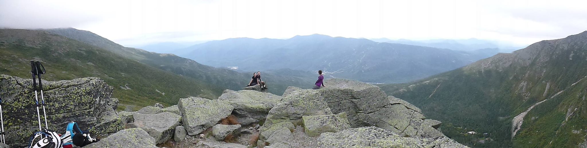
Mount Washington
Region : Presidential Range / White Mountains(NH) Start Location : Pinkham Notch: Directions/Website Distance from start : 8.4m (13.5km) to 10.8mi (17.4km) Ascention : 3800ft (1150m) to 5000ft (1500m) Altitude: 6288ft Parking : Parking lot/Free Fee : Free Trail Markings : At intersections + Totems at top Difficuly : Hard Maps : For sale at […]
Read More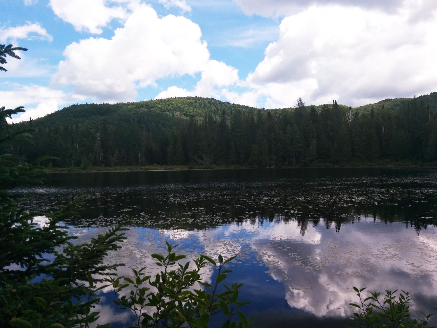
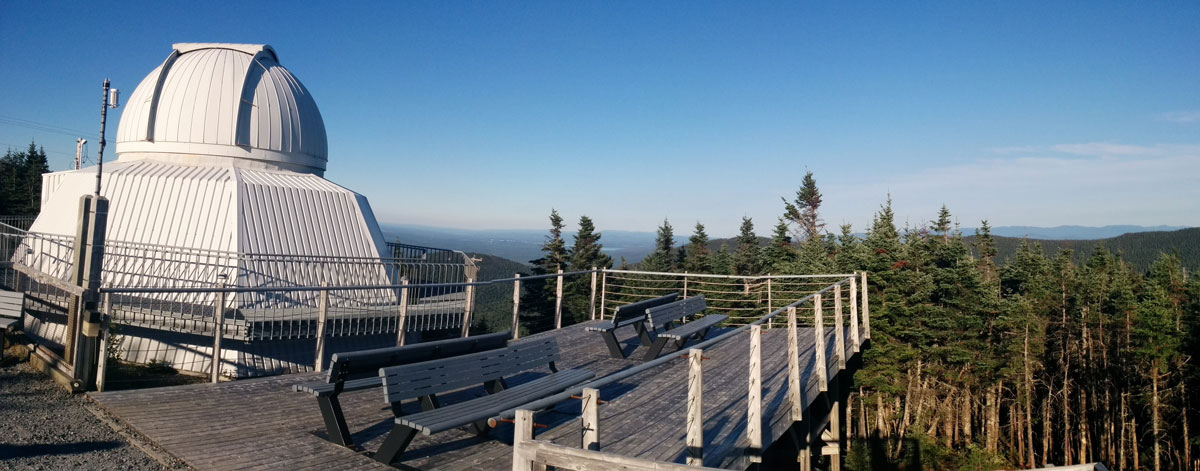
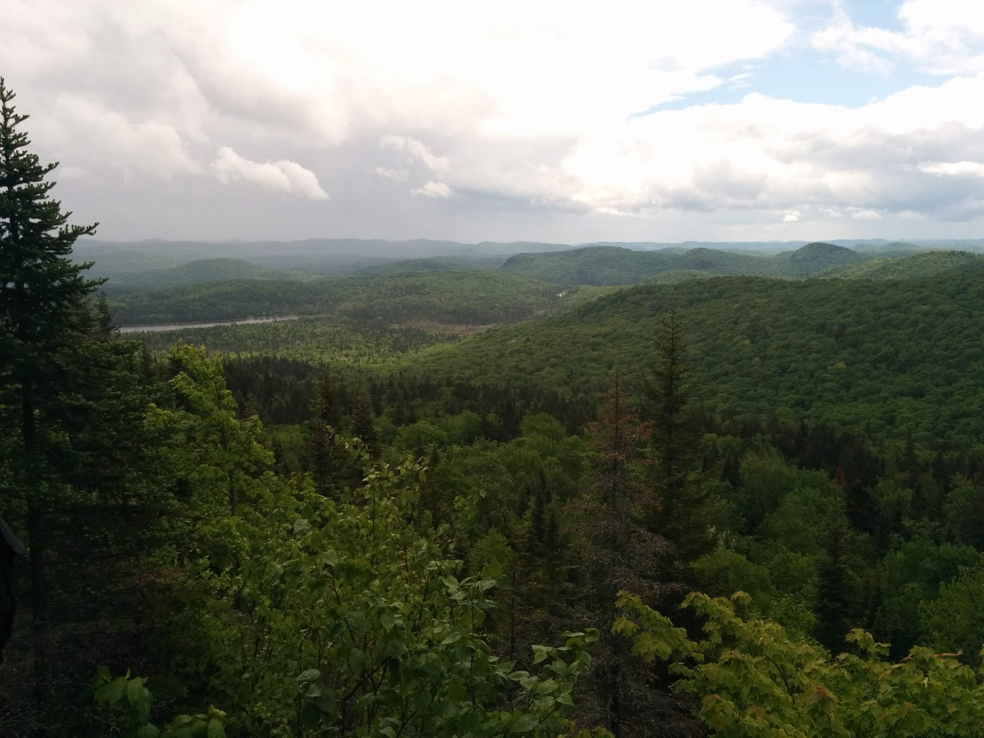
Forêt Ouareau Regional Park
Region : Lanaudière (Qc) Start : Parking lot Distance from start : Up to 120km (+links to Sentier National) Parking : Yes Fee : 6$ Trail Markings : Color billboards Difficulty : Intermediate to Hard Washroom: At the Refuge & Reception Map : • Map : Massif Sector • Map : Grande Vallée Sector • Map : […]
Read MoreChute-à-Bull Regional Park
Region : Lanaudière (Qc) Start : Parking lot Distance from start : 6km (links to Sentier National) Parking : Yes Fee : 6$ Trail Markings : Hand-made signs Difficulty : Easy Washroom: At the Refuges Map : Chutes à Bull Website : Parc regional de la chute a bull Location: Chemin de la Chute à […]
Read MoreMont Tremblant National Park
Region : Laurentides (Qc) Parking : Discovery and Visitors Center – la Disble sector Fee : Mont Tremblant National Park entrance fee – Self check out or at the Visitors Center Website : SEPAQ Weather : Weather Conditions Warnings : Even though Mont Tremblant is a National Park, it is a feat of strenght to […]
Read More